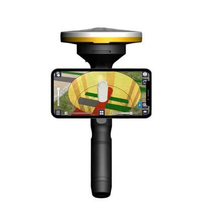
Trimble SiteVision is a user-friendly outdoor Augmented Reality system that allows georeferenced visual models to be imported from a network information system to a mobile device. Using a configurable rules engine, SiteVision turns existing 2D models into easy to understand 3D models for you to explore from any angle at true-to-life scale and with unrivaled accuracy (< 2 cm). SiteVision supports utility workflows, the model placement in the field is automatic, and the system is really easy to use – you can learn the basics in only 15 minutes.
Data is transferred from your Utility GIS/NIS/CAD to Trimble Connect for SiteVision to use. Trimble Connect is a cloud-based data management and collaboration platform that stores, processes, and optimises 2D and 3D models, prepared in your GIS/NIS/CAD, for viewing in SiteVision. (The subscription for Trimble Connect is included with your SiteVision subscription.)
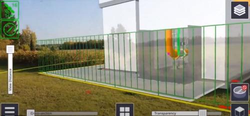
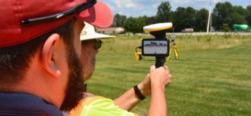
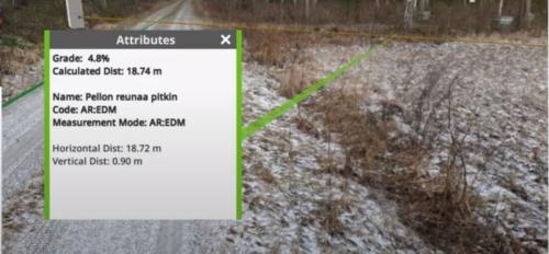
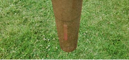
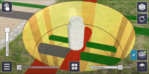
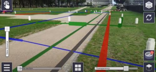
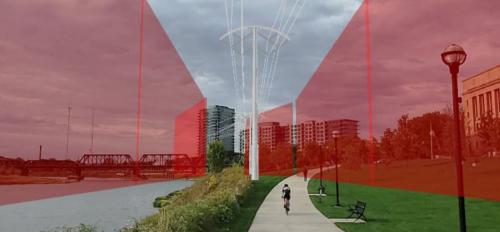
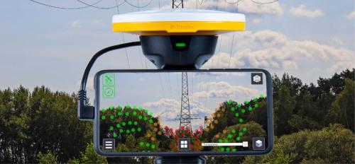
- Viewing visual models in the field helps utilities improve crew coordination and planning, save design cycles, and improve utility operations and productivity.
- Visual models enhance communications, engagement, and collaboration with stakeholders.
- Identifying issues early significantly reduces job rework and repeat site visits, which in turn helps reduce transportation carbon footprint.
- Identifying errors in the mapping process becomes easy if you, for instance, notice that a manhole cover is located differently in real life than in your visual model.
- When using virtual stakes, there will be fewer visits to the site to re-measure locations for physical stakes that have gone missing.
You can import a variety of data into SiteVision: Data is transferred from your Utility GIS/NIS/CAD to Trimble Connect for SiteVision to use. Trimble Connect is a cloud-based data management and collaboration platform that stores, processes, and optimises 2D and 3D models, prepared in your GIS/NIS/CAD, for viewing in SiteVision. (The subscription for Trimble Connect is included with your SiteVision subscription.)
Since SiteVision cannot improve the accuracy of missing data, insufficient source data may be a challenge when viewing underground infrastructure. You can, however, use SiteVision’s Pit View functionality to project and visualize pipes and cables on the ground level. SiteVision’s Visualization Manager and certain settings can also be used to give standard depths to pipes and cables so that they run, for example, 1.5 meters underground.
There are two subscriptions available for SiteVision:
For outdoor field work we recommend Trimble SiteVision Universal AR subscription with SiteVision hardware. Trimble Catalyst™ GNSS technology enables accurate model placement.
For indoor work or simple visualization outdoors we recommend Trimble SiteVision mobile AR subscription that enables model placement manually or with QR codes.
In addition to SiteVision, you will need a supported Android or iOS mobile phone or tablet.

