Regions
English
Main Content
Header
Challenges
Image (1x1)
Icon List
Sub Header
Trimble's deep understanding of the challenges facing the utility industry drives us to deliver technology solutions that enable our customers to address these challenges head on.
Description
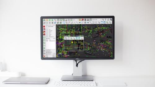
Trimble’s high accuracy GNSS receivers in combination with our utility data collection software delivers a robust data collection solution to improve the quality and accuracy of your GIS data. It allows utility operators to plan, manage and dispatch data collection jobs. It also allows field users using Trimble's mobile applications to perform work, gather authoritative asset information, record accurate 3D GPS positions and capture photos.
Header
Solution
Image (1x1)
Image

Header
Trimble Digital Mapping and Data Collection
Cards
Image
Image

Image
Image

Page Name
Trimble Mapping & Data Collection
Banner Image
Card Summary
Trimble GNSS receivers, ruggedized smartphones and handheld computers designed to support high-accuracy utility and local government requirements.
Mark as external link
Off
Categories
Sub Header
Capture the digital twin of your network.

