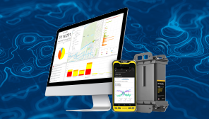


Providing GIS-centric and web-based visualizations, reporting, and analysis for managing remote monitoring sites, viewing telemetry reports, and analyzing data collected with Trimble Telog RTUs and other imported 3rd-party sources. Powered by Esri® ArcGIS® with seamless support for ArcGIS Identity, Web Maps, and Dashboards.
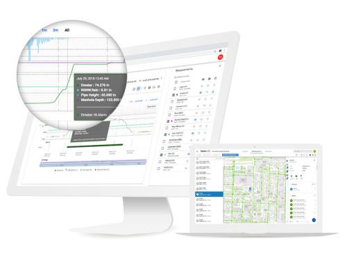
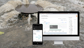
Receive automated alarm notifications, enabling rapid response to operational anomalies and abnormal conditions that could result in infrastructure failure, environmental damage, and regulatory penalties.
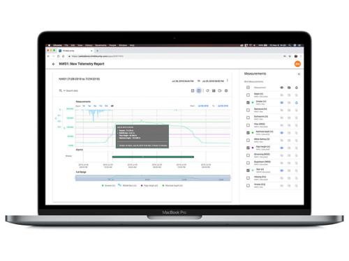
Supporting the Trimble Telog® family of rugged, battery-powered Recording Telemetry Units (RTUs), sensors and data, for situational awareness of water and wastewater operations and asset performance.
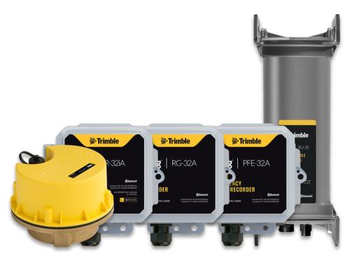
Extend the value of your existing IoT and SCADA data. Bring your telemetry data into Trimble Unity RM, offering a single pane of glass view for improved insights, reporting and analytics. Provide controlled access to staff and outside users. Trimble Unity RM becomes the hub that links performance data from Trimble Telog recorders and 3rd-party systems with GIS asset information, improving your ability to maintain the peak performance of your assets throughout their lifetime.
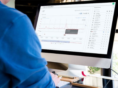
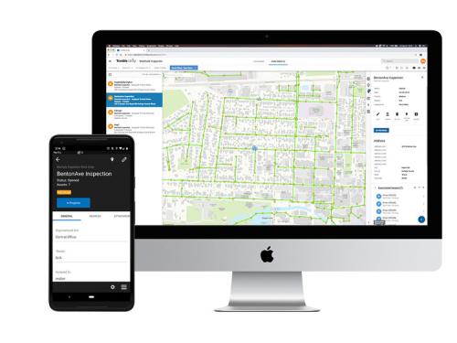
Extend real-time monitoring data to field crews using the Trimble Unity GIS based mobile software supported on iPhones, iPads and Android devices, providing mobile workers and field technicians with the tools and data they need to quickly and efficiently analyze and respond to network events.
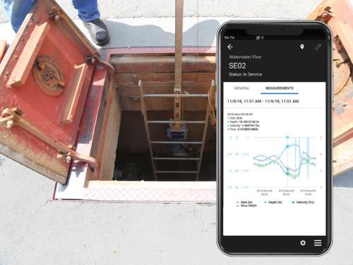
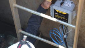
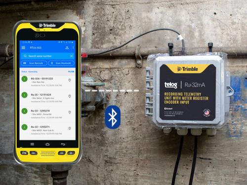
Use the Trimble Unity Remote Monitoring mobile app and workflow to manage the installation of RTUs on new sites, and relocation of RTUs from one site to another. Configure RTUs to automatically get data as often as you want and when you want with configurable data transfer intervals, and in response to configured alarms.
Identify assets that are in poor condition, or ones that are likely to fail, through correlating telemetry data over a period of time with historic events and alarms, asset age and operational records. Then incorporate this information into network inspection and rehabilitation plans.
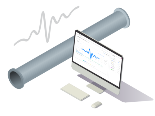
A remote monitoring system health dashboard and analytics to provide management and operations staff with real-time insight into the availability and performance of the remote monitoring network and assets.
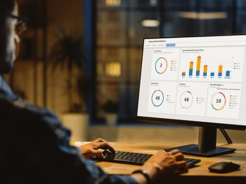
Supplement your GIS with asset performance data using the Trimble Unity Remote Monitoring ArcGIS Connector. Giving you the ability to activate pre-canned KPIs on monitoring sites, and configure how these KPIs update your GIS. You can use the KPI data, along with monitoring sites, alarms and pressure impulse events in ArcGIS Web Maps and ArcGIS Dashboards to create location-aware data visualizations and analytics across the organization, offering real-time situational awareness.
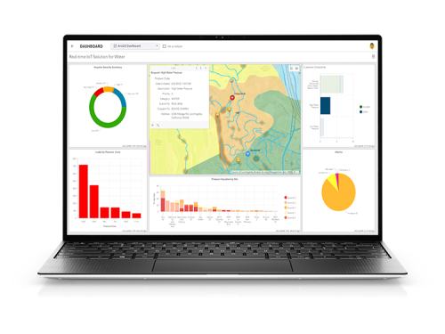
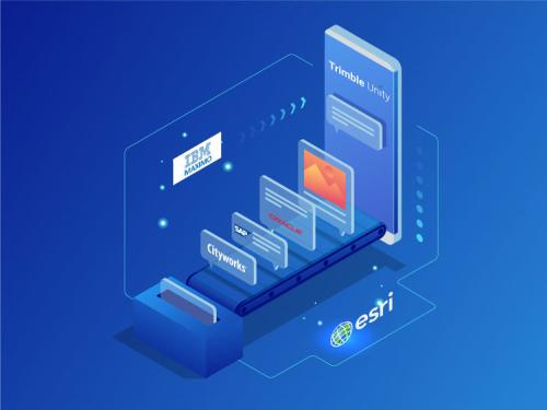
Offering access to telemetry data via secured web APIs, and the ability to import telemetry data from 3rd-party systems. Enabling integration with third party systems such as SCADA, Enterprise Asset Management and GIS.
Pay a single subscription fee that bundles hosting, data management and communication fees.
Extend the use of the software by leveraging the full capabilities of the optional Trimble Unity Work Management solution, offering GIS-centric field and office work management and dispatching capabilities to streamline field service operations, reduce event response times and gather authoritative field data for reporting and regulatory compliance.
