Regions
Page Name
Water - Mapping and Locating
Main Content
CTA
Header
CHALLENGES
Image (1x1)
Icon List
Description
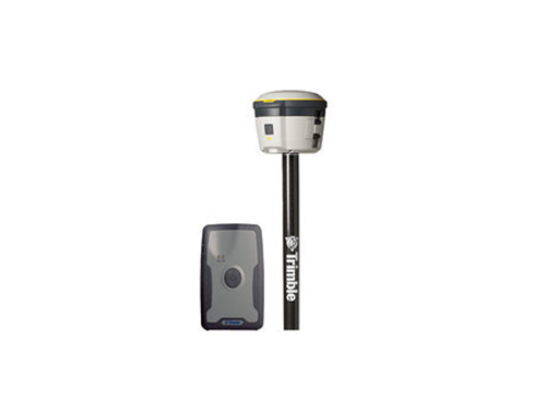
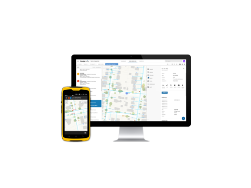
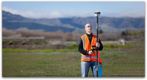
Trimble Unity software subscription offers the Water Mapper app, which leverages Trimble’s high accuracy GNSS receivers and Esri’s mapping technology to provide a robust data collection solution to improve the quality and accuracy of your GIS data. It allows utility operators using Trimble Unity web to plan, manage and dispatch data collection jobs. It also allows field users using Trimble Unity mobile to perform work, gather authoritative asset information, record accurate 3D GPS positions and capture photos.
Standard forms based on the Esri’s Local Government Information Model (LGIM) are pre-configured to collect field data for water network assets including valves, distribution mains, hydrants, service lines, service connection, etc.
Header
SOLUTION
Image (1x1)
Image
Header
BENEFITS
Cards
Image
Image
Image
Image
Image
Image
Image
Image

Sub Header
Improve As-built mapping workflow and reduce GIS update backlogs
Categories
