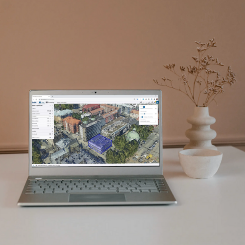
Geospatial 3D Data Management is a comprehensive solution for geospatial data management, map production and distribution. The intelligent product model stores and manages data from natural and built environment. Cartographic capabilities of the system range from detailed base maps to tourist guide maps.
Our technology creates an excellent basis for building process support for local government, as it enables the integration of data contents in basic registers in the same technical platform. Information sharing between different applications and processes is smooth, and geospatial data and functionalities are utilized throughout business processes in a smart manner.
Three-in-one software solution for managing data from built environment. Provides all necessary tools for 3D geospatial data management and map production.
Trimble Locus supports interoperability through common map formats and standard interfaces to document management and ERP systems. Trimble Locus can be extended also with other Trimble applications - such as tools for advanced data analysis and customer service - in both, internet and mobile.

No software solution is complete without professional services. To ensure that each customer gets the most out of their solution, we provide a full range of professional services.

